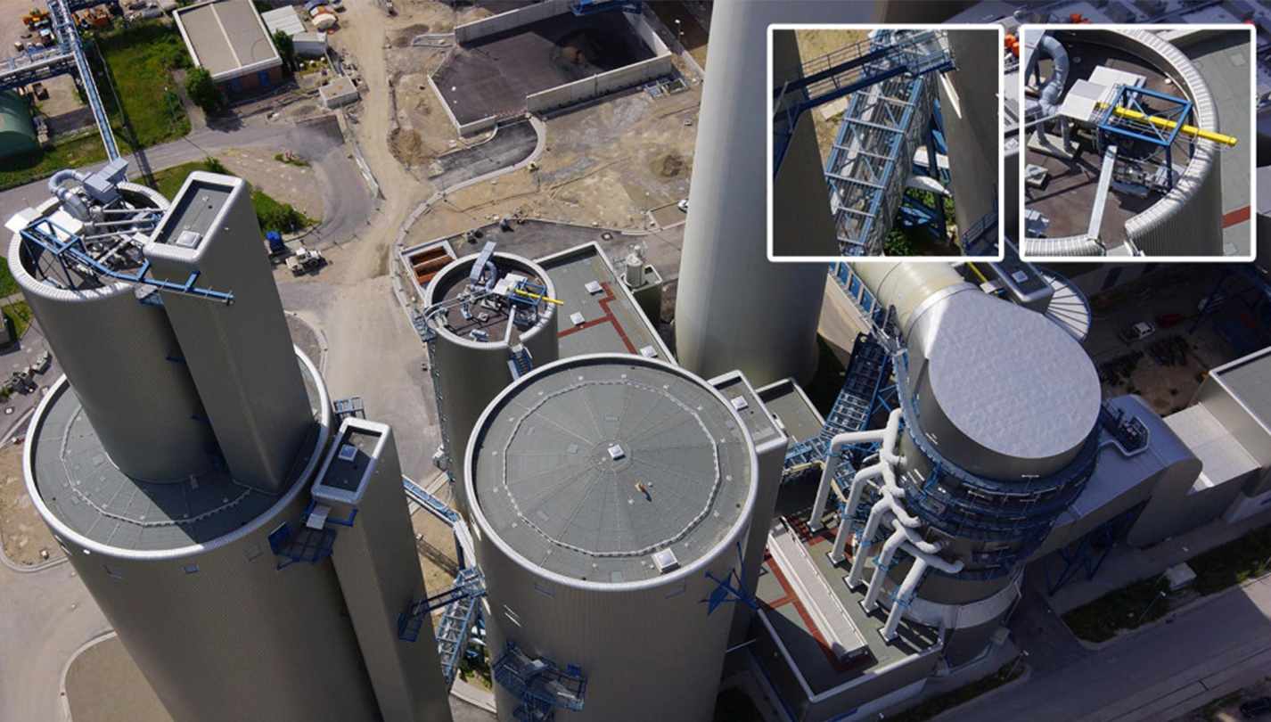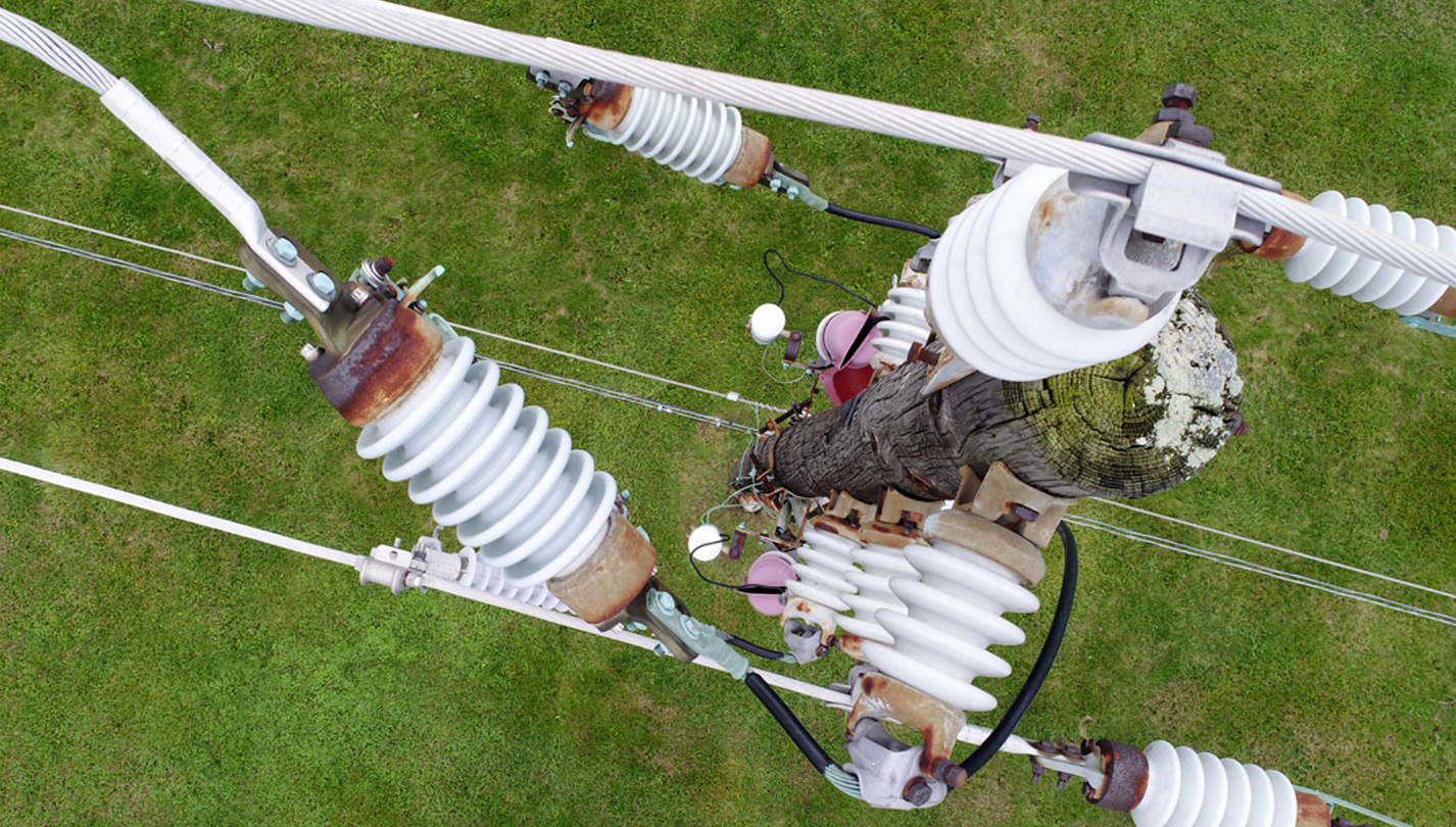
Deliver real-time site inspections faster, cheaper and safer with innovative drone and scanning technologies.
Turn Real-Time Data Into Business Insights
Turn Real-Time Data Into Business Insights
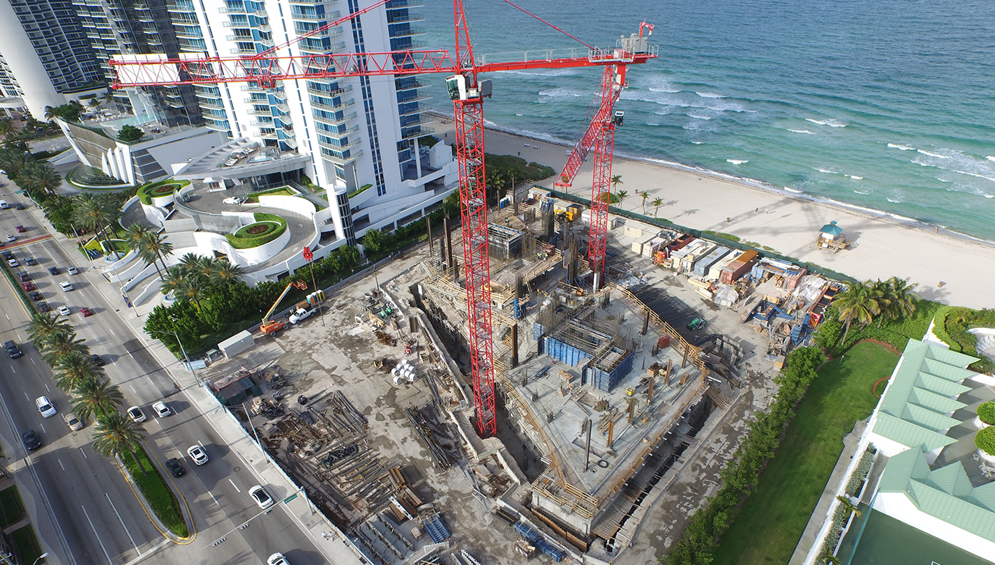
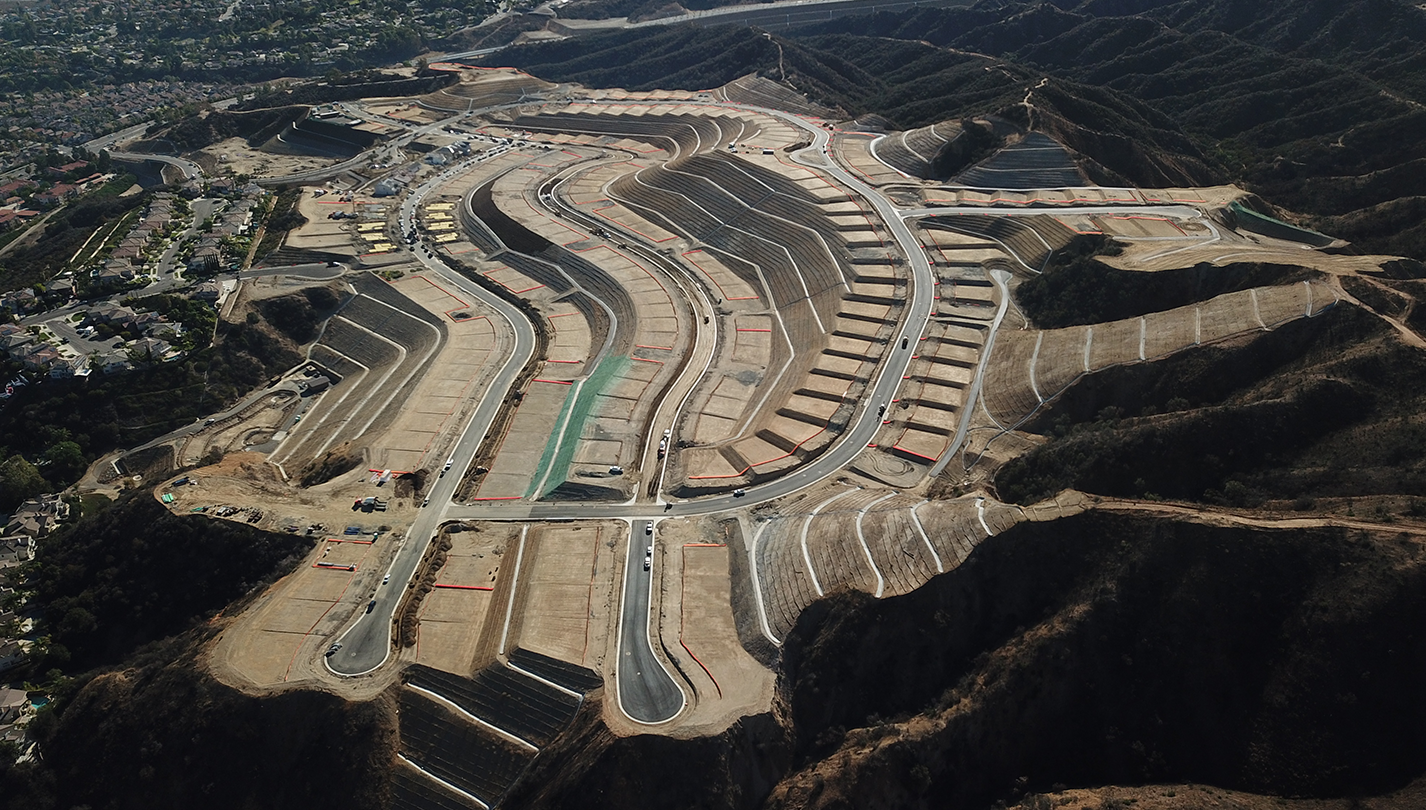
Drone and scanning technologies deliver powerful data that provide cost and time-saving benefits throughout your project life-cycle. Professional quality maps and 3D models empower you to instantly calculate data, track progress and monitor safety.
Real-Time Data
Make quick, intelligent business decisions.
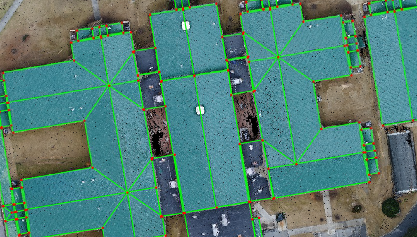
Ensure Accuracy
Ensure quality with precise measurements.
Quick ROI
Drive productivity with 4x faster turnaround times.
Monitor Progress
Monitor progress remotely to quickly mitigate any risks.
Collaboration
Share maps and tools to put insights into action.
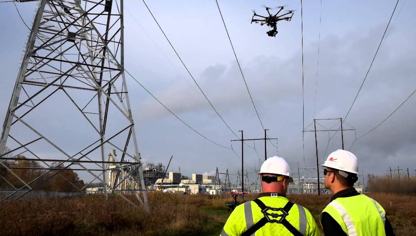
Improve Safety
Keep your team on the ground, data in the cloud.
Visual imagery and data delivered quickly.