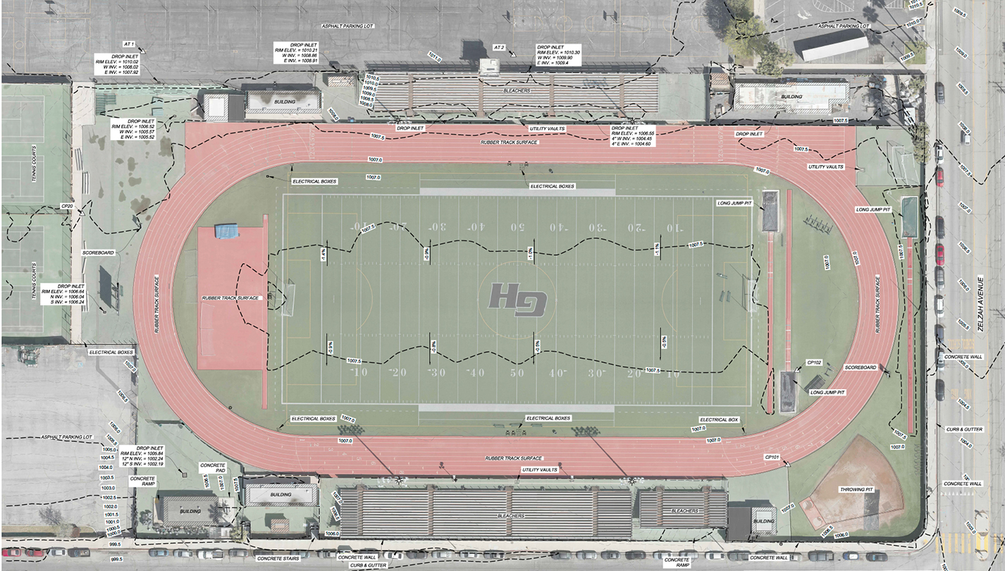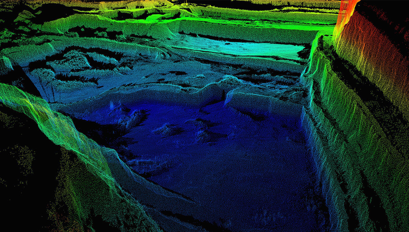
Use UAVs to collect accurate data which can be used in planning and other stages throughout the project lifecycle.
Transform Infrastructure Design and Construction.
Transform Infrastructure Design and Construction.
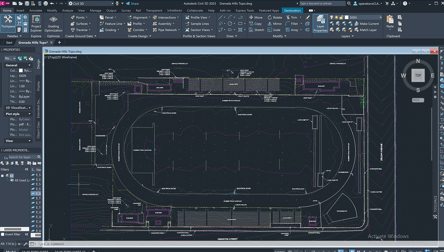
Our data can be used in pre-project planning, to regularly update clients on the progress of their projects, analyze stockpiles of raw materials such as dirt and gravel, or even generate 3D models of construction sites. These maps help provide the “big picture” and assist in strategic decision making.
Planning Insight
Make decisions in record time.
Ensure Accuracy
Industry leading hardware and sensors produce extremely accurate data.
Quick ROI
Drive productivity with 10x faster turnaround times.
Real-Time Data
Make quick, intelligent business decisions.
Collaboration
Share maps and tools to put insights into action.
Access and Safety
Assess areas previously unreachable.
Collect and analyze in a tenth of the time and a quarter of the cost.