Fusing the best parts of traditional survey and new technology.
Technology Backed by Licensed Surveyors
Technology Backed by Licensed Surveyors
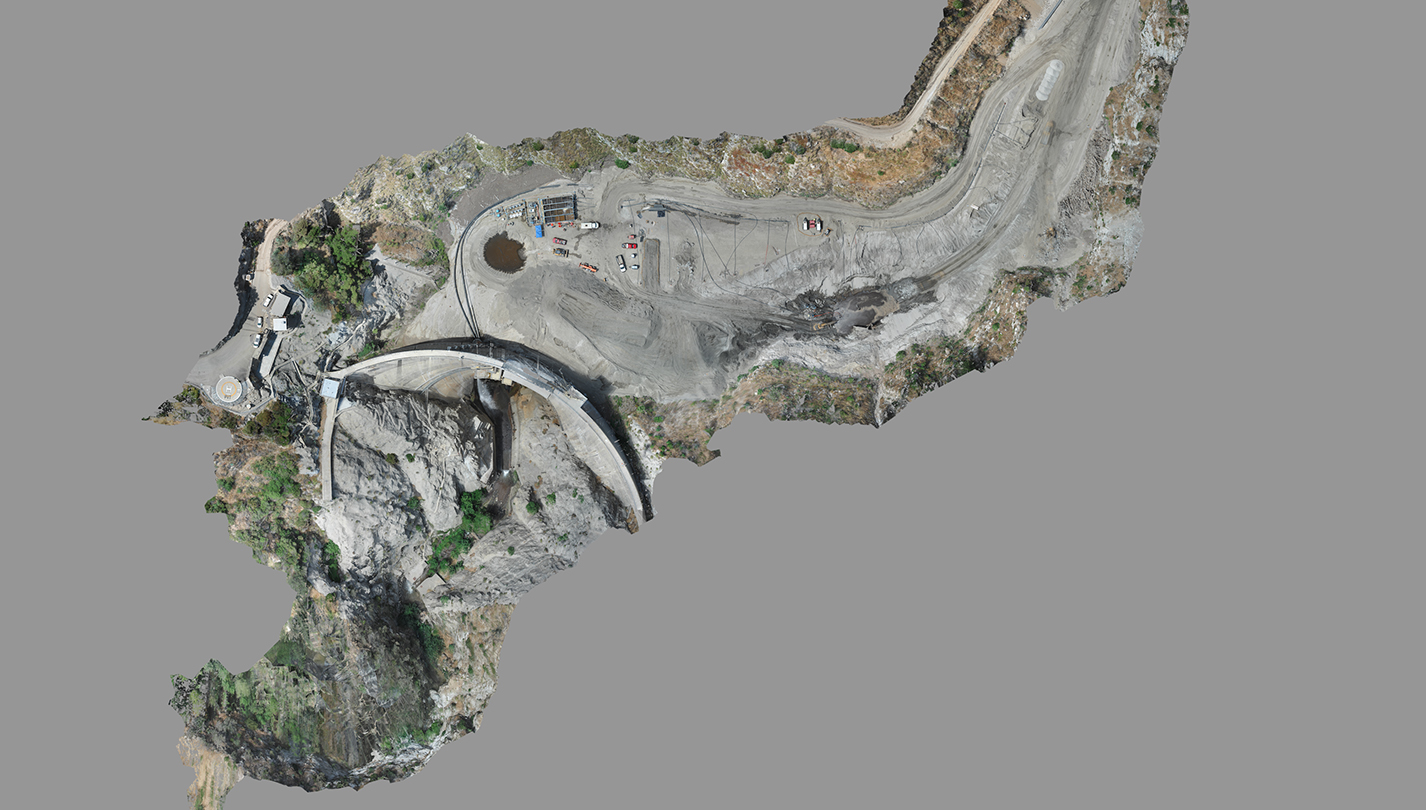
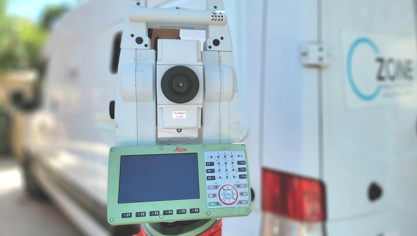
Ozone fuses the best parts of traditional survey with the latest technologies on the market to offer our clients quality and robust information and services in an expedited fashion. Given the current market landscape, the technological advantage is a key driver helping to address the shortage of skilled labor and increasing demand.
Our team is comprised of highly skilled Professional Land Surveyors, Photogrammetrists, FAA Licensed Drone Pilots, Certified CAD and BIM draftsmen, as well as GIS Technicians.
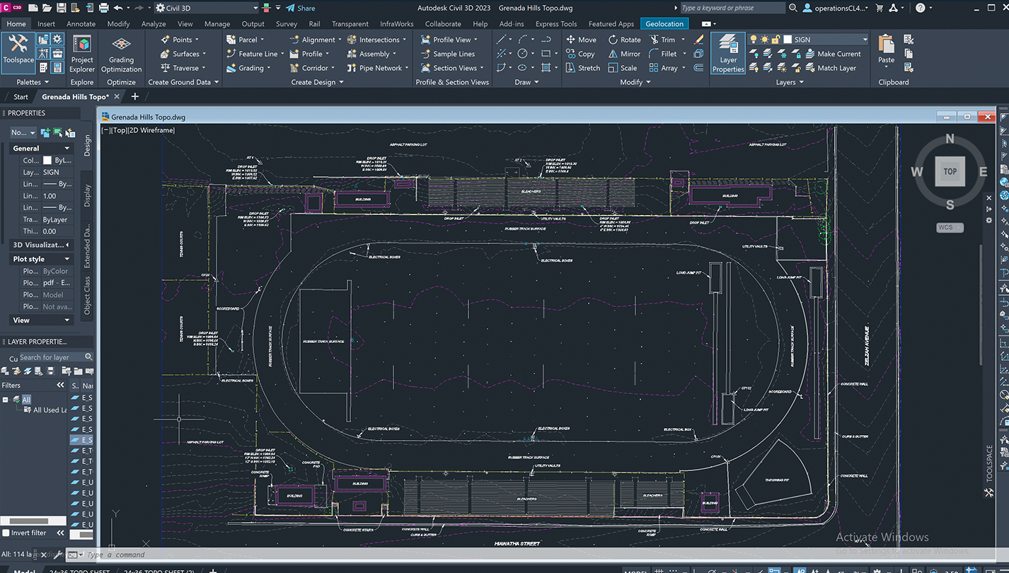
The multitude of complementary services under one roof, enables us to be nimble, efficient, cost-effective, as well as great communicators. Our clients can source directly from one vendor versus having to source multiple vendors which significantly simplifies the administrative effort and streamlines communication. This “Field to Finish” approach takes the challenge out of adopting new technology.
Our core capabilities and service offerings include:
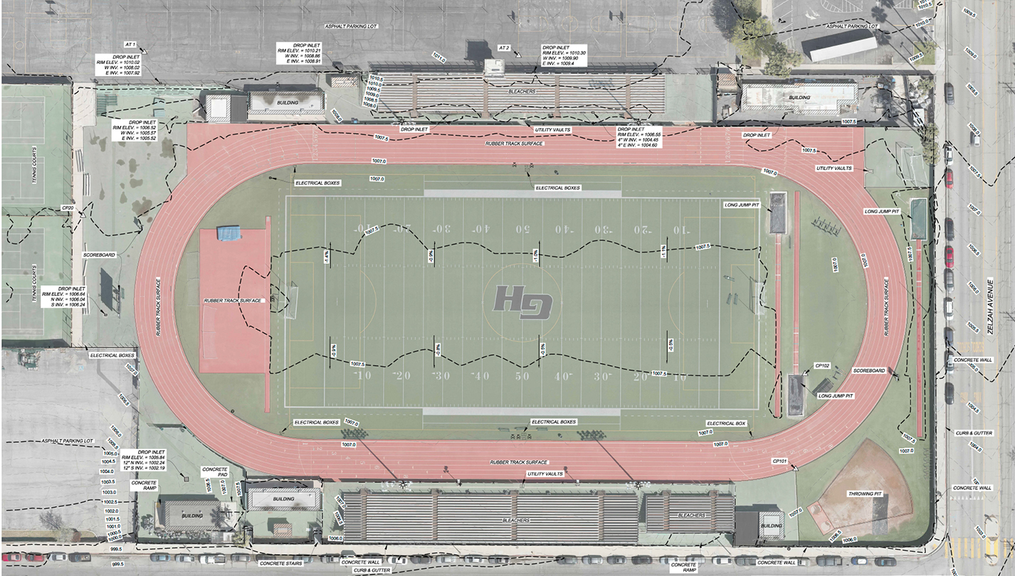
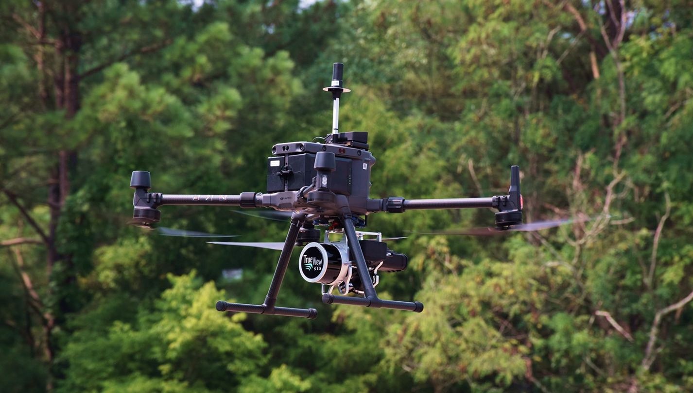
- Aerial (UAS / Drone) Mapping – Photogrammetry and LiDar
- 3D LiDar Scanning / High-Definition Surveying
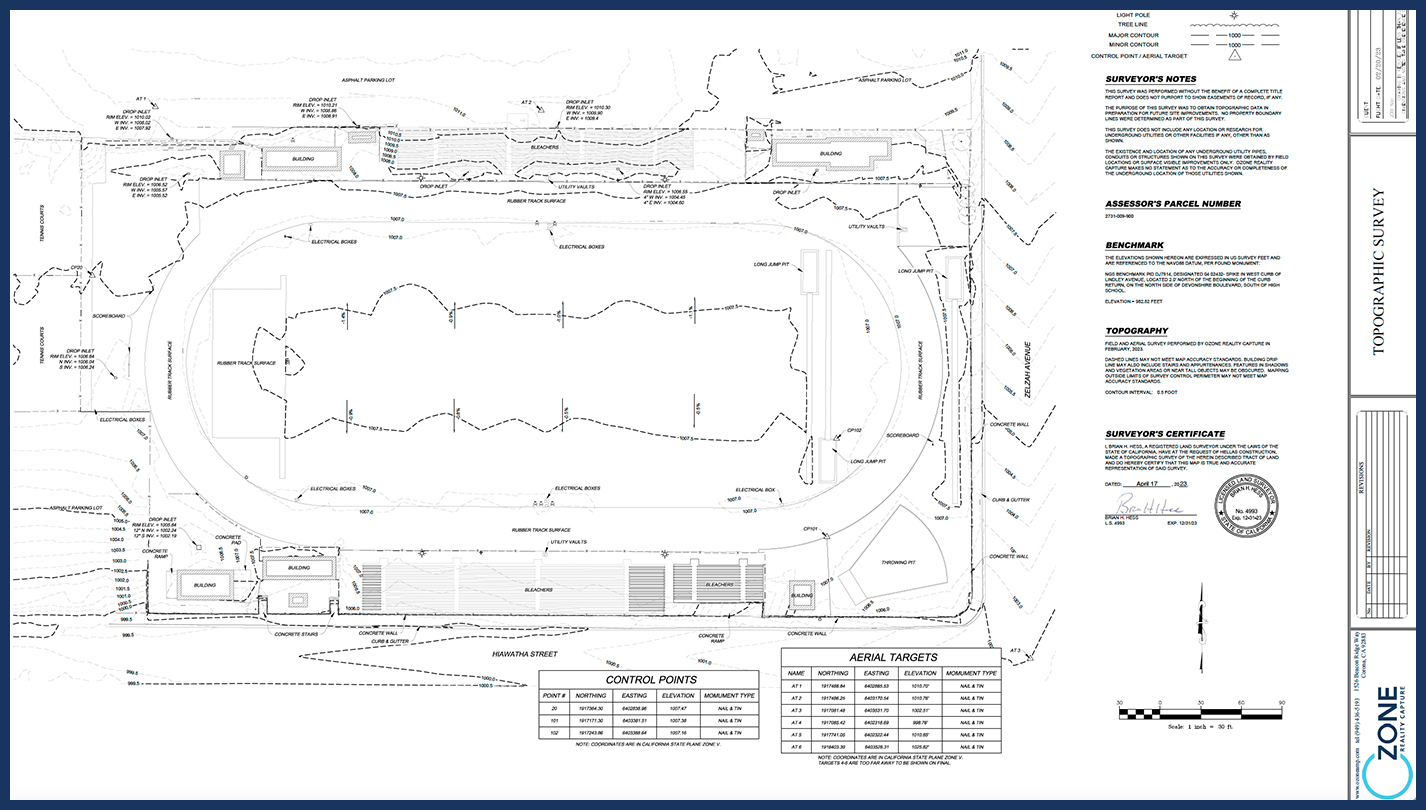
- Topography
- Boundary
- As-Built
- ALTA
- Earthwork Volume Calculations
- GIS Integration
- Subsurface Utility Detection (GPR)
- Bathymetry
Wide-ranging skills and project types:
- Large Scale Topo
- Commercial
- Developments
- DOT / Bridge / Rail
- Transmission / Utilities
Ozone is a certified Small Business with the California Department of General Services and LA Metro.
Tech Advantage
Gain the market advantage with better data.
Turnaround Time
More timely delivery with great communication.
Quality Deliverables
Tech backed by licensed surveyors for quality results.
