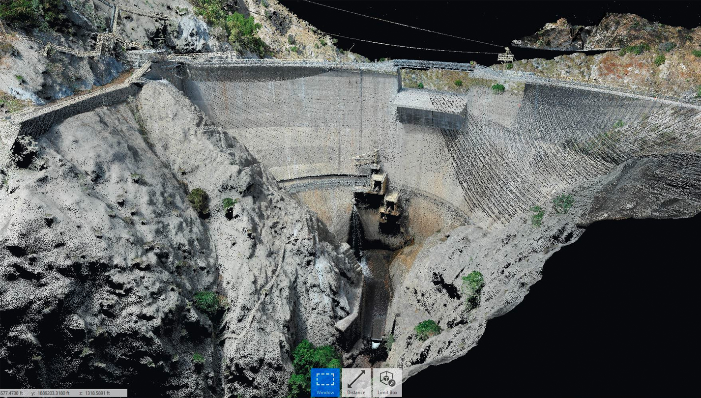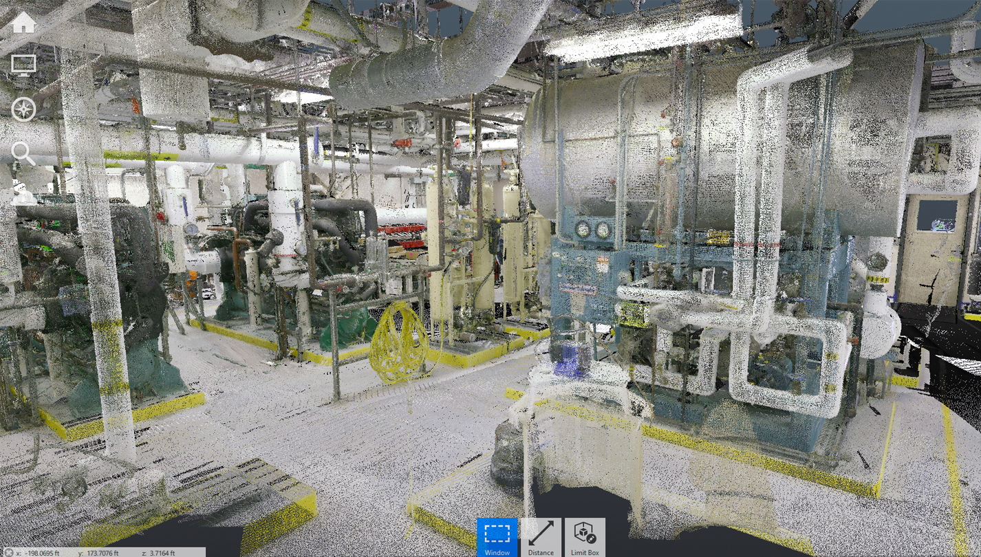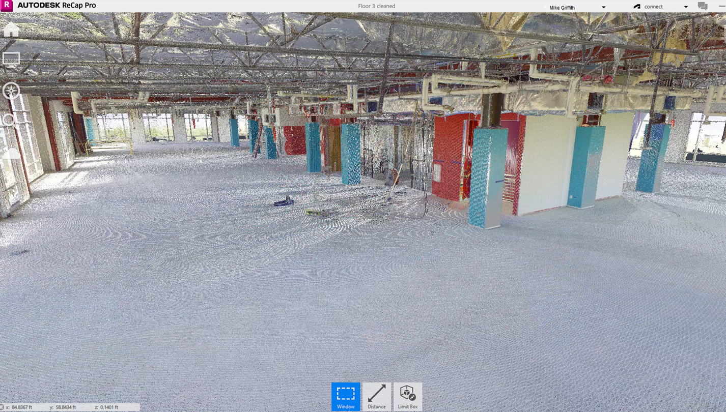
Use accurate, high resolution 3D models to quickly analyze existing building conditions, and quality of constructed project.
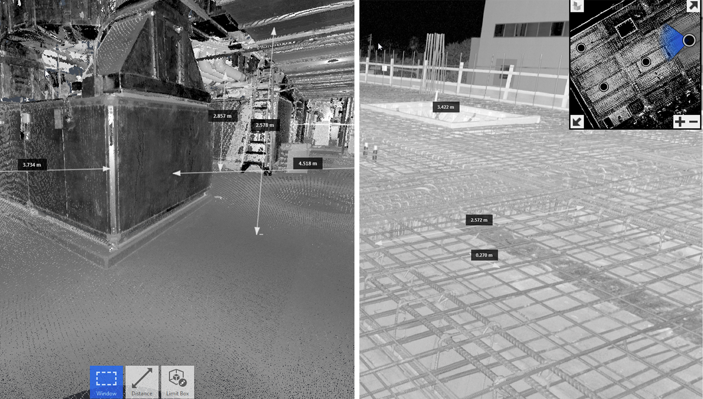
Ensure Accuracy and Quality.
Ensure Accuracy and Quality.
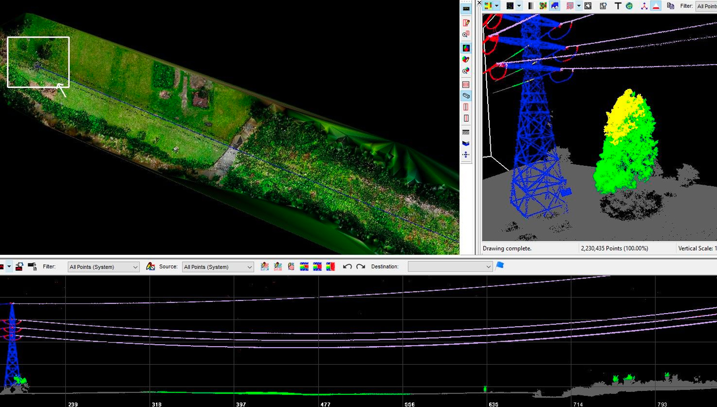
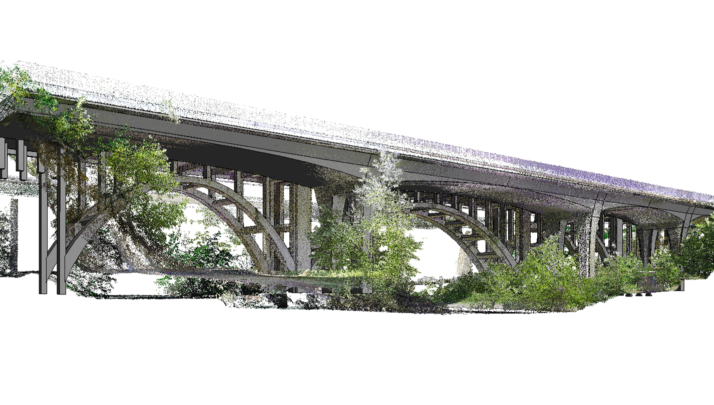
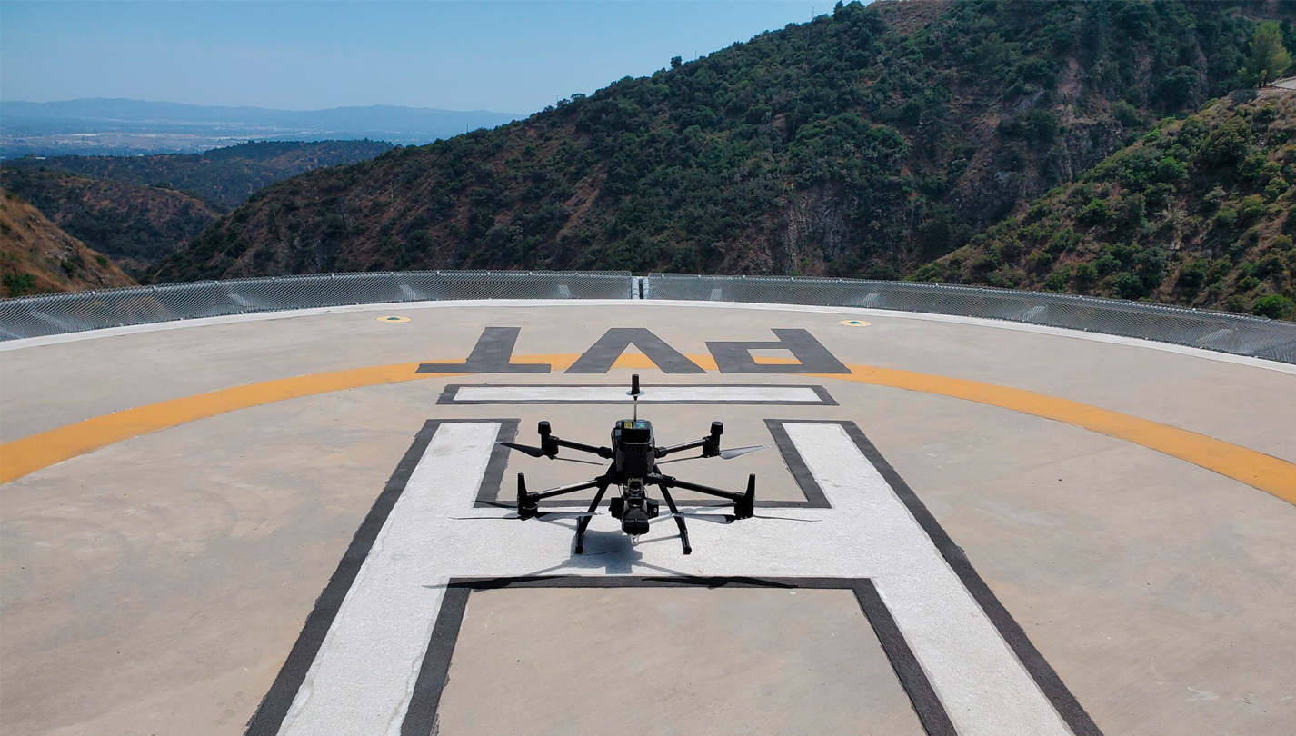
3D LiDar Scanning technology digitally captures the dimensions and spatial relationships of objects using laser light. The scanner produces an accurate representation of the scanned object with a dense point cloud image made up of millions of points. 3D LiDar scanning is a fast, accurate and non-intrusive way to collect as-built construction data, and eliminates the need to return to the site for additional measurements.
Real-Time Data
Make quick, intelligent business decisions.
Ensure Accuracy
Ensure quality with precise measurements.
Quick ROI
Drive productivity with 4x faster turnaround times.
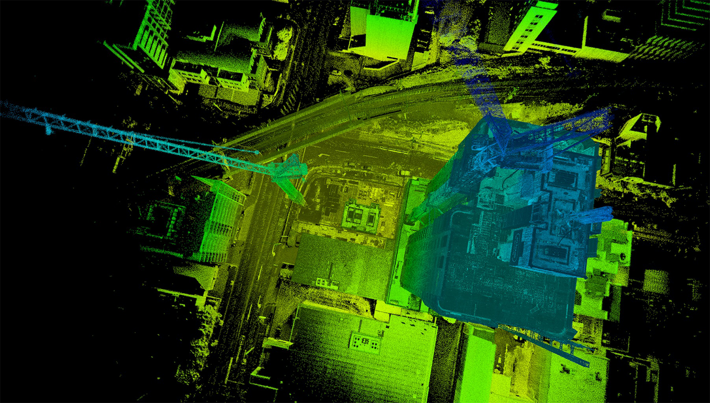
Monitor Progress
Monitor progress remotely to quickly mitigate any risks.
Collaboration
Share models across the organization to put insights into action.
Improve Safety
Keep your team on the ground, data in the cloud.
Measure, annotate and model from the comfort of your office.